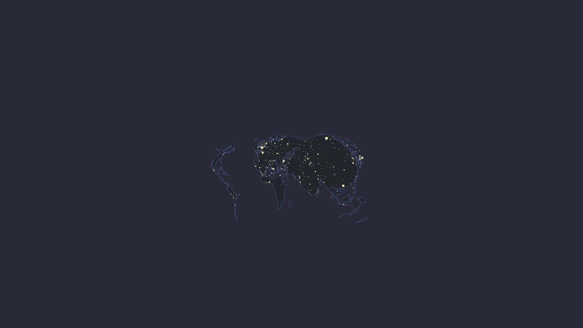
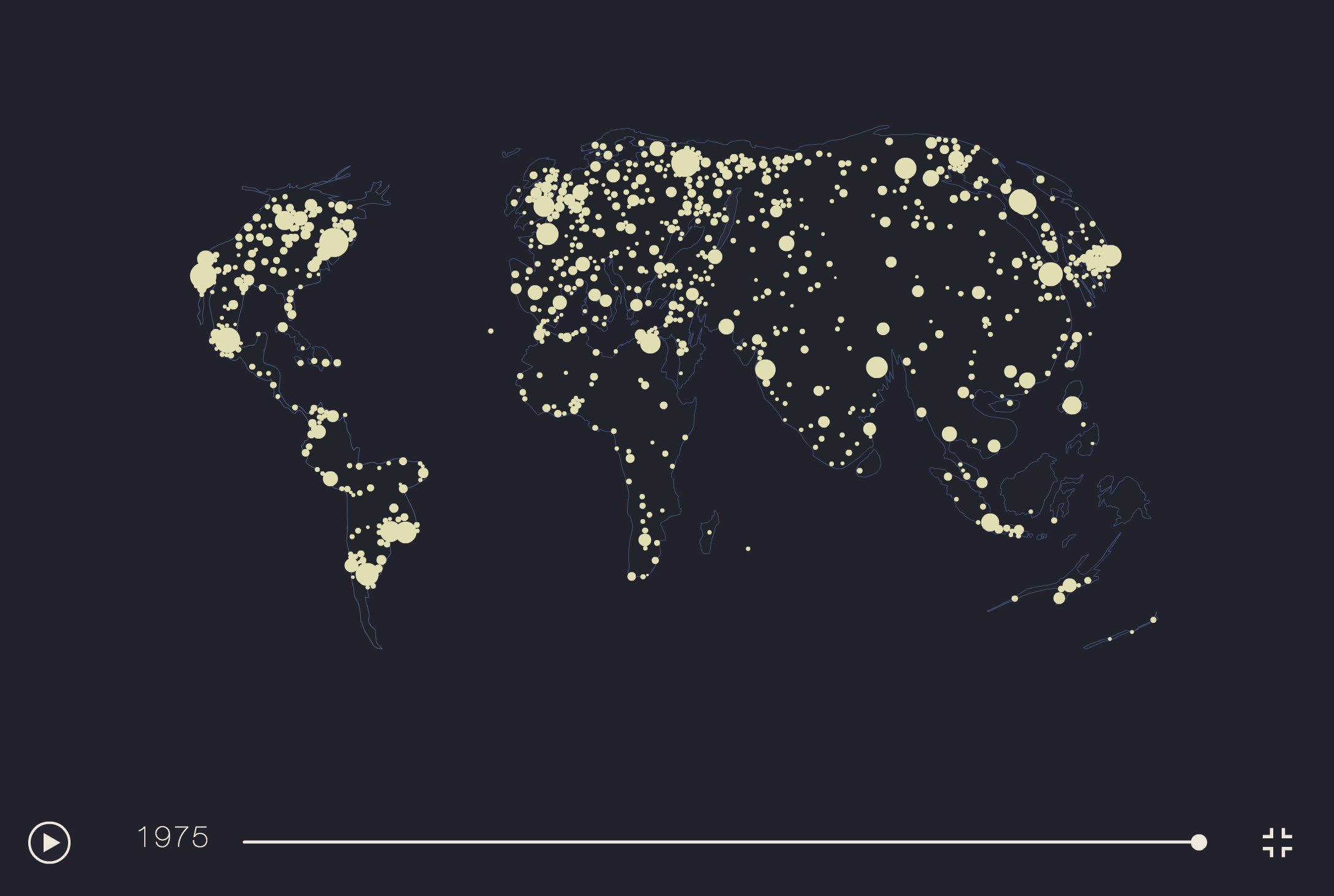
World Urban Factory
This animated map depicts the growth of the World most important cities from 10'000 BC to contemporary days. This project presented two main challenges: the scarcity of available data, and their comparability over time and space. With the team at Chôros Lab., we created a dataset covering more than 2000 cities (the most important ones at each date we cover) from different data sources. We endeavored to maintain the broadest definition of the city as encompassing both city centers and their urban area, therefore leading to merging of cities (Essen and Düsseldorf for instance, merge as one unique conurbation in 2000).
The animation lasts about 8 minutes, with very little happening during the 7 first minutes, making obvious that the precedence of cities in human's way of life accelerated a lot during the 20th century.
The population scale is constant both over time and space. The World is therefore very small at the beginning of the visualization, but fills the entire space of the map in 2010. The area covered by cities' circle is also proportional to the base map, the ratio yellow/blue is therefore meaningful: it reveals the precedence of cities over non urban spaces at the end of the 20th century.
It is featured in Jacques Lévy's scientific film "Urbanity/ies" (2013) (00:24 minutes).
This film explores the concept of urbanity through the observation of the city throughout the World, especially in China. This ambitious theoretical project establishes also an intense dialogue with Italo Calvino’s ‘invisible cities’. Finally, the film is a manifesto, a contribution to a novel, contemporary cinematographic language, relevant to scientific research.